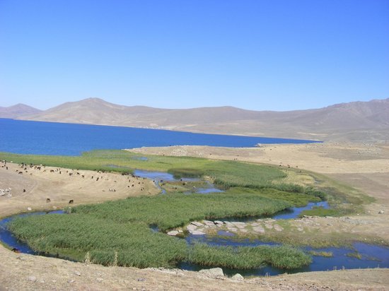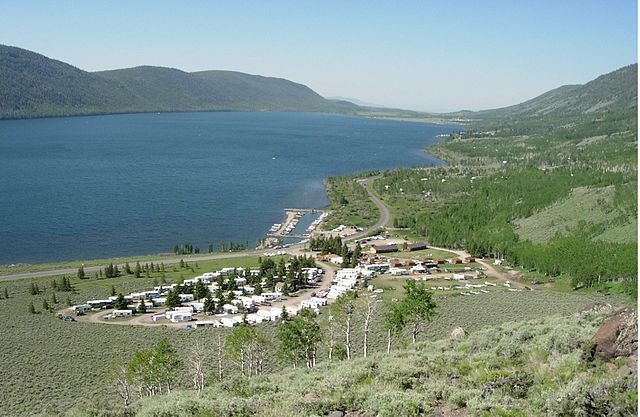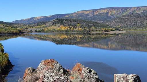
Located on the high plateau between two districts, Fish Lake Agri (Balık Gölü) sits about 26 kilometers northeast of Taşlıçay and roughly 60 kilometers northwest of Doğubeyazıt. Travelers arriving at Ağrı Ahmed-i Hani Airport or Iğdır Airport will find renting a car or hiring a private driver the most practical way to reach the shoreline, as rural minibuses only serve nearby villages irregularly. Once at the water's edge, plan to spend a few hours walking the shore, watching birds, or eating fresh trout at a simple lakeside facility.
June through September is the best season to visit, when alpine meadows bloom and daytime temperatures at 2,241 meters are mild and breezy. In winter, the lake freezes under a sheet of ice around 1 meter thick, and heavy snow frequently blocks the mountain roads from Taşlıçay and Doğubeyazıt; always check road conditions with local authorities before attempting a winter drive. As an open natural wetland and drinking-water protection zone, the lake has no ticket booth, admission is free, and the Museum Pass Turkiye is not applicable.
Geologists classify Balık Gölü as a high-altitude lava-dammed lake formed when volcanic flows from the surrounding Aras Mountains and nearby volcanic peaks blocked a natural stream valley. Fed by cold mountain brooks, shoreline springs, and snowmelt, its fresh, non-alkaline waters stay cold year-round and supply clean drinking water to settlements in the Doğubeyazıt plain.
If you are driving the mountain road roughly 60 kilometers southeast from the lake into Doğubeyazıt, you can pair a morning in the high pastures with the district's main historical landmarks in the afternoon.
| Place | Type | Time needed | Best for | Entry |
|---|---|---|---|---|
| Fish Lake | High-altitude volcanic lake | n/a | Birdwatching, trout, and alpine camping | Free |
| Mount Agrı | Stratovolcano peak | n/a | Mountaineering and high mountain views | n/a |
| Ishak Pasha Palace | Ottoman palace complex | n/a | 18th-century stonework and courtyards | Ticket |
| Noah's Ark | Geological formation site | n/a | Durupinar boat-shaped formation | Free |
Yes, for travelers who enjoy quiet highland landscapes, birdwatching, and volcanic geology, the lake at 2,241 meters offers a refreshing contrast to the dry plains below. Its clean freshwater shore and views toward the surrounding mountains make it a peaceful half-day nature outing.
The lake sits about 26 kilometers from the Taşlıçay district center and roughly 60 kilometers from Doğubeyazıt. Because the highland roads wind through rural mountain terrain, having your own vehicle or a hired driver is strongly recommended.
Summer, from June to September, is ideal for hiking, picnicking, birdwatching, and camping when the high pastures are green and roads are clear. In winter, the lake freezes under roughly a meter of ice, attracting photographers interested in traditional ice fishing when the road is passable.
No, the lake shoreline is open to the public free of charge and does not require a ticket or Museum Pass Turkiye. Because the basin serves as a protected drinking-water source for the region, visitors must pack out all trash and respect water protection rules.
The cold, spring-fed waters are famous for native red-spotted mountain trout (Salmo trutta macrostigma). A small island in the lake is an important breeding habitat for the velvet scoter duck, while eagles, hawks, partridges, and wild ducks frequent the shores.
Yes, if you have a private car, you can visit Fish Lake in the morning via Taşlıçay and then drive the 60-kilometer mountain route to Doğubeyazıt to tour Ishak Pasha Palace and Eski Bayazıt in the afternoon. Check local road conditions first if traveling outside the summer months.
Sources: agri.ktb.gov.tr, agri.gov.tr, en.wikipedia.org
Last reviewed: